Ask an expert: How shifting weather patterns impact water supply in Texas Posted on March 13, 2024
While January brought much-needed precipitation to a large swath of Texas, February was drier and warmer than average for the state. How did these conditions affect our water supply?
Dr. Mark Wentzel, a hydrologist in the Surface Water Division at the Texas Water Development Board (TWDB), shares some updates on current reservoir conditions and what the next few months may bring.
What are you seeing in terms of water supply conditions?
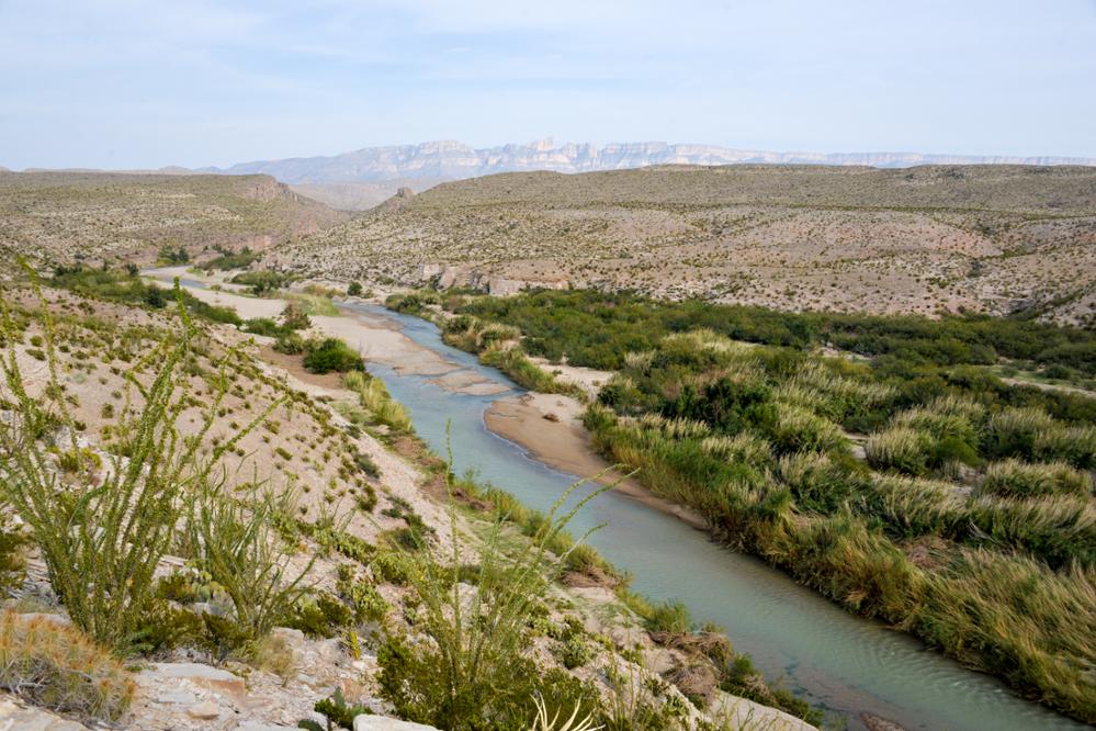
In Texas, the Brazos River basin in the center of the state is the frontline for water supply recovery from the recent drought. This area has not recovered fully and is still below what is considered normal for this time of year, but things are promising there. Most river basins in Texas to the south and west are still waiting for recovery. At the end of February, statewide storage in our water supply reservoirs was at 73.5 percent of capacity, which is about 10 percentage points below normal for the time of year.
What would it take for all the river basins in Texas to recover?
This winter, we were in an El Niño climate pattern, which typically sets up atmospheric circulation for wetter than normal conditions for Texas. This meant good things for drought recovery in East Texas, but recovery hasn’t made it past the Brazos River basin and farther southwest in the state. Now we’re coming out of El Niño conditions, and the National Oceanic and Atmospheric Administration (NOAA) predicts we may transition to a La Niña pattern this summer.
La Niña sets up the atmosphere to be better suited for tropical storm and hurricane development in the Atlantic Ocean and tends to allow those storms to make it into the Gulf of Mexico, improving Texas’ chances of getting moisture from storms. These storms or their remnants would be helpful particularly for the Rio Grande River and South Texas. Multiple smaller events over time would be safer in terms of storm damage, but they don’t provide quick relief like a single larger tropical storm remnant. The good news is that La Niña or neutral conditions would make those tropical storm remnants more likely.
If a tropical system were to occur, when could we expect it to come through Texas?
August, September, and even into October is the heart of hurricane season. We typically say it’s over by November, but sometimes we get surprised. In an ideal world, La Niña would dissipate after the hurricane season and let us go back to El Niño next winter to improve our chances for winter precipitation.
How much rainfall would it take to get reservoir storage capacity back to a normal level?
One good tropical storm that lands in exactly the right place could be enough to fill up a reservoir. We saw that in 2010 with remnants of Hurricane Alex, which helped the Rio Grande Valley in terms of water supply during the 2011-2014 drought. If a system moves relatively quickly and doesn’t drop a lot of rainfall or moves from north to south over a watershed instead of east to west so that we don’t get as much rainfall in the area upstream of reservoirs, then it can take more than one storm. Big reservoirs and water supply systems in West and South Texas are set up to take advantage of these events that don’t necessarily happen every year. They capture water and store it for use over multiple years.
How can the public help with water conservation?
It’s important to listen to your local water providers about conservation recommendations and water restrictions in your area. The TWDB has also shared some tips for preparing to conserve water as we move into the hotter and drier months of the year.
This article is posted in Weather / Water Supply / Conservation .