Geoscientists work to ensure a secure water supply for Texas Posted on April 11, 2023
Typical interaction with water takes place above the earth’s surface for most people: rivers, lakes, rainfall, and the water that comes out of the tap. However, more than half of the water used in Texas exists underground. Geoscientists in the Groundwater Division of the Texas Water Development Board (TWDB) are currently studying the Edwards-Trinity Plateau aquifer, which encompasses more than 40 counties in West Texas, to help identify brackish groundwater supply sources and ensure a secure water future for the state.
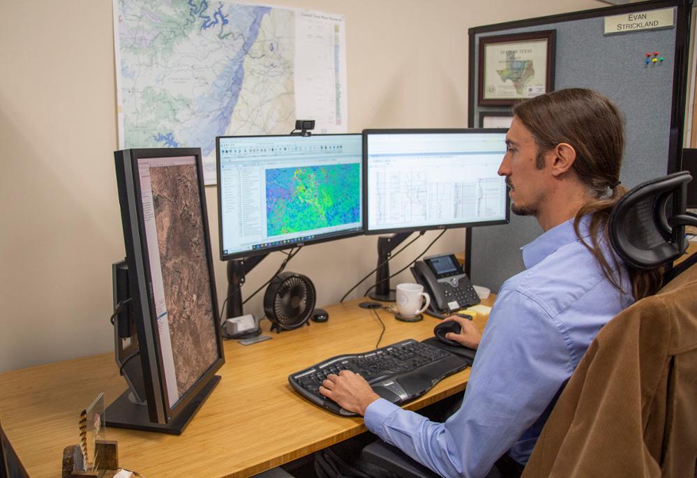
Within the geoscience field, there are numerous areas of study that require specific skill sets. At the TWDB, geoscientists in the Brackish Resources Aquifer Characterization System (BRACS) program use their expertise to identify and designate brackish groundwater production zones in Texas. Evan Strickland is one of the geoscientists on the team that studies the geologic formations of the brackish portions in aquifers across the state.
Using existing water well reports, geophysical well logs, and available aquifer data, Strickland and the BRACS team compile and analyze data to calculate the salinity of groundwater and map the brackish parts of aquifers in greater detail. With this data, the team builds public datasets that can be used for groundwater exploration and for developing groundwater availability models. The studies take between two and four years to complete and will ultimately aid researchers and decision-makers in selecting locations for site-specific studies on brackish groundwater production for the purpose of desalination.
"Our work to map the quality of brackish groundwater is important because we’re laying the groundwork regionally to give entities a head start to further explore those resources,” said Strickland.
To meet future water needs, the 2022 State Water Plan recommends groundwater desalination strategies that would provide 157,000 acre-feet per year of supply by 2070. Overall, groundwater strategies constitute 12 percent of all recommended water management strategies in the plan. Through the hard work of geoscientists with the BRACS program, the TWDB will continue to study the aquifers across the state and assist with the identification of additional possible brackish groundwater resources for the future.
“In the TWDB’s Groundwater Division, we aim to be the leading resource in Texas on groundwater data, science, and technical assistance to fully understand how much water we have, where it is, and what the quality is,” said Natalie Ballew, Director of the TWDB’s Groundwater Division. “We are collecting and compiling data so that those who are making decisions can make the best, well-informed decisions possible.”
To learn more about the TWDB’s Groundwater Division, visit the TWDB website.
Brackish groundwater is defined as groundwater with a total dissolved solids content between 1,000 and 10,000 parts per million. Desalination is a widely used process that makes brackish water drinkable.
What is geoscience?
In simple terms, geoscientists study the earth. According to the Texas Board of Professional Geoscientists, geoscience is the science of the earth and its origin and history; the investigation of the earth’s environment and its constituent soils, rocks, minerals, fossil fuels, solids, and fluids; and the study of the natural and introduced agents, forces, and processes that cause changes in and on the earth.
Most geoscientists at the TWDB are hydrogeologists, which means they study how groundwater moves beneath the earth’s surface and interacts with geologic formations. Because groundwater is difficult to see and access, it can be challenging to study. Having the expertise of geoscientists at the agency is essential to modeling how groundwater flows, analyzing the impacts of pumping or drought on water levels, and much more.
Geoscientists who work for the TWDB must be licensed as a Professional Geoscientist through the Texas Board of Professional Geoscientists, which requires the following:
- Graduation from a course of study in one of the Board-recognized geoscience disciplines
- Five years of qualifying work experience and/or graduate study in a geoscience discipline
- Passing two exams on the fundamentals and practice of the applicable geoscience discipline
This article is posted in Aquifers / Water Supply / Groundwater / Water Data .