The TWDB continues outreach efforts across the state, and the destination was the High Plains earlier this month. Board members and staff met with stakeholders and toured a farm, a playa, and water-related facilities during a two-day visit.
The TWDB has approved amendments to the first-ever regional flood plans that recommend additional solutions to reduce the risk and impact of flooding across the state, bringing the total estimated cost of flood risk reduction solutions for all 15 planning regions to more than $54 billion.
While January brought much-needed precipitation to a large swath of Texas, February was drier and warmer than average for the state. How did these conditions affect our water supply? Dr. Mark Wentzel, a hydrologist in the Surface Water Division at the TWDB, shares some updates on current reservoir conditions and what the next few months may bring.
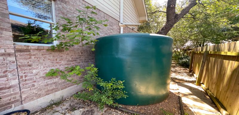
Before the heat hits this summer, take advantage of spring weather to evaluate your home's water usage and implement changes that not only conserve water but save money.
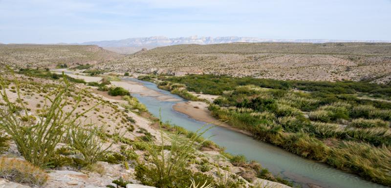
Texas has a diverse geographical landscape, and the amount of precipitation varies dramatically by region. In the latest Water + Weather report, Dr. Mark Wentzel looks at March's rainfall and water storage data and previews the likely expansion of drought in West Texas and a contraction of drought in Central Texas and parts of the Panhandle.
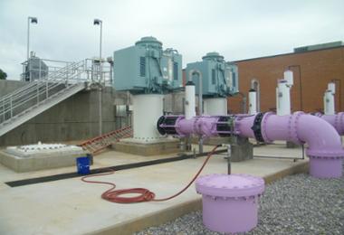
While Texas primarily relies on river basins and underground aquifers for its water supply, reclaimed wastewater for reuse is a strategy Texas has been implementing for decades and is becoming even more popular.
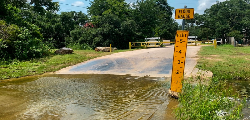
The City of Bryan’s flood early warning system alerts emergency response crews and city staff to roadway flooding and warns drivers to “Turn Around, Don’t Drown” with automated flashing beacons. The City helped pay for the project with a grant from the TWDB’s Flood Infrastructure Fund.